Olteanu Photo Studio
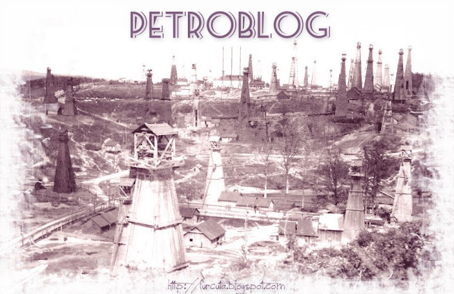
In the interwar period on the main street in the center of Campina was the famous Olteanu Photo Studio run at beginning by Stefan Olteanu and later by his son Gogu Olteanu. The activity of Stefan Olteanu started during WW1 when the city and all the oilfields from Prahova Valley where under german control. The germans issued to the inhabitants of Campina and to all municipalities from the Prahova Valley, an ID which picture. Stefan Olteanu received the monopoly to take photos for the new ID and this is how the bussines has begun. His son continued the father passion for photos and it remained for a long time the city photographer. Most of the Campina and Moreni oilfield photos and issued postcards with oil wells, refineries, eruptions and gushers from that time have been made by the Olteanu family.
Eruption of oil well 42 SR Campina Draganeasa
Eruption of oil well No. 30 SR Campina
Oil well No. 30 SR Campina Draganeasa was spud by Steaua Romana Company in 1898 at a depth of 311 meters. It was situated on left shore of Prahova river in Gahita oilfield and in the middle of actual city center of Campina.


